
Alex Panelli led the last 2014 walk on 19 October in the Fryers Ranges around the Sugarbag Track area. Noel Young wrote the following piece on the walk and included an extensive flowering plant list:
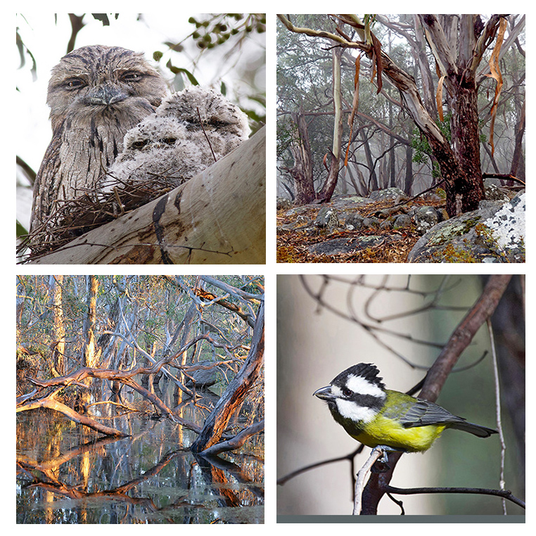
On a day of glorious weather, the walk for most of us quickly turned into a Wildflower Walk as Alex had selected an area which was flowering profusely and appeared to be at the peak of the season. Unlike last month’s walk there was no sign of cup moth damage, and the trees looked very healthy. Another healthy sign was the almost constant calling of birds all along the track. Although I have not mastered all the bird calls, I could list as definites: Horsefield’s Bronze Cuckoo, Golden Bronze Cuckoo, Fan-tail Cuckoo, Grey Thrush, White throated Tree-creeper, Rufous Whistler, Fuscous Honey-eater, Olive backed Oriole, Grey Fantail, Blue Wren, Kookaburra, and Spotted Pardalote.
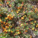
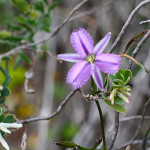
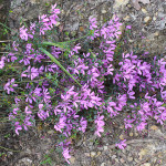
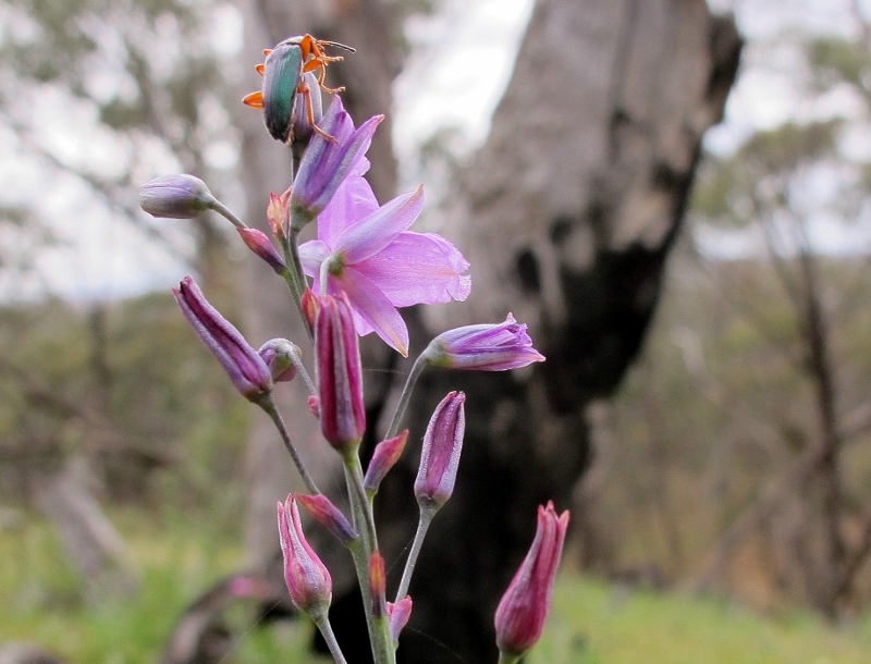
I counted about 30 species of flowering plants: Yam Daisy, Slender Rice flower, Pink Bells, Milkmaids, Creamy Candles, Primrose Goodenia, Fairy Wax-flower, Common Beard-heath, Grey Everlasting, Sticky Everlasting, Downy Grevillea, Billy Buttons, Fireweed (Senecio sp), Showy Parrot-pea, Matted Bush-pea, Prostrate Flat-pea, Bulbine lily. Chocolate lily, Black Anther Flax-lily, Erect Guinea-flower, Daphne Heath, Native Violet and Twining Fringe-lily.
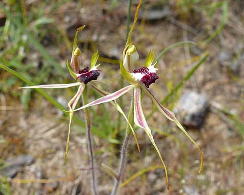
Spider Orchid (Caladenia phaeoclavia). Photo by Noel Young
Orchids: Spotted Sun-orchid, Bearded Greenhood, Purplish Beard-orchid, Pink Fingers, Hooded Caladenia and Waxlip Orchid.
Theo Mellick-Cooper took the first three photos below and the rest were taken by Bronwyn Silver. Click to enlarge.
-
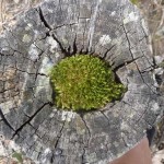
- Moss in stump
-
- Moss in stump
-
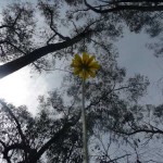
- Yam daisy
-
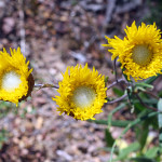
- Showy Podoleps
-
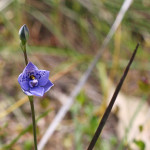
- Spotted Sun-Orchid
-
- Twining Fringe-lily
-
- Pink Bells
-
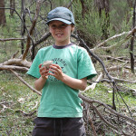
- Theo with a bird’s nest
-
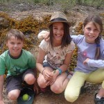
- Theo, Nioka and Maisie
-
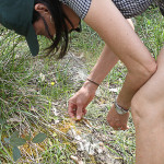
- Beth examining moss
-
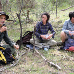
- Alex, Robyn and Jenny at morning tea
-
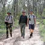
- Noel, Alex and Neville on the track
![Red box [Eucalyptus polyanthemus] blossom, Maldon Historic Reserve, October 2014. Red box is coming into flower now; Yellow gum is in flower; and Red gums are on the way.](https://www.fobif.org.au/admin/wp-content/uploads/2014/10/red-box-maldon-tip-5-10-14-5-800x600.jpg)


 Click on image for info/order page
 Click on image for info/order page
 Click on image for info/order page

")


")


