
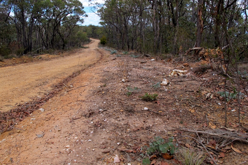
Here’s what land managers are dealing with: granite rocks put on the track near Lang’s Lookout on Mount Alexander have been graffitied with aggressive messages, ‘faggot council’ being one.
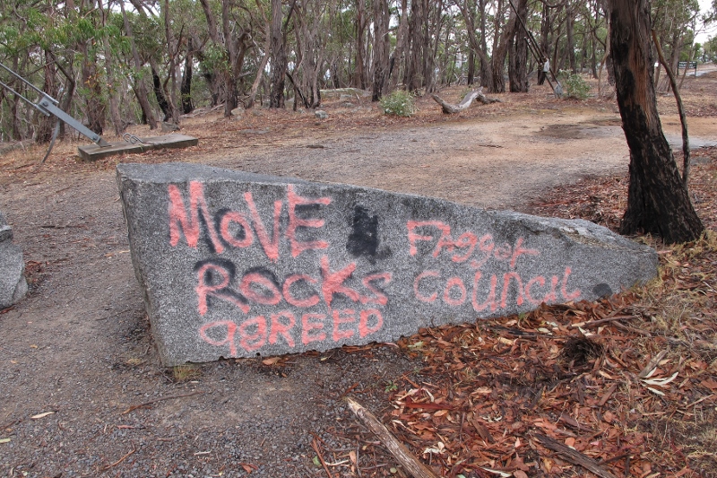
Granite blocks across the track near Lang’s Lookout. They increase the walking distance to the lookout by about 100 metres, but that’s enough to cause anger, in a culture that privileges car access.
The rocks were put on the track in Spring last year [not by Council], and are designed to keep vehicles off a flat patch of ground to the north of the TV tower. The road block means you need to walk about 100 metres more on pleasant, level ground to get to the lookout rocks.
You could read a fair bit of meaning into those pink words: but the main one seems to be that absolute car access to everything is vital, and removing it is a violation of a fundamental right. That’s part of our culture.


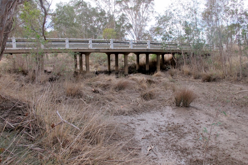
![Muckleford Creek at the Pyrenees Highway last Thursday. The creek was off its peak when Alex Wiggenraad took this photo. Parts of the shire got a heavy dump, others barely a drop: but the overall figures for the last 12 months [and the last 16 years] are dismal.](https://www.fobif.org.au/admin/wp-content/uploads/2016/01/muckleford-ck-28-1-16.jpg)


 Click on image for info/order page
 Click on image for info/order page
 Click on image for info/order page

")


")


