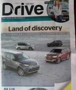
FOBIF has received an answer from the RACV to its letter about an article in RoyalAuto magazine promoting the irresponsible—and idiotic— practice of driving on beaches (see below).
We complained that the article should have been corrected online, as the editors had promised, but had not.
It appears we were half right: unknown to us, there are two online versions of Royalauto: the article in question was corrected in one, but not the other.
The relevant parts of the letter from the assistant editor of Royalauto read as follows:
‘RACV RoyalAuto magazine and the photographer have both acknowledged the errors in this story and have apologised for not better checking the facts and the images.
‘As soon as the error was raised, the RoyalAuto editor updated the online story, removing reference to driving on the beach, and he wrote a fulsome apology.
‘However, the story in the flip book was not altered. This was an oversight that we are fixing today.
‘Once this work is undertaken, all online references to 4WDs on beaches will be removed and the fulsome apology will appear in both places.
‘We also followed up with this article in print in the November edition:
‘https://www.racv.com.au/membership/member-benefits/royalauto/travel/news-and-information/how-to-travel-gently-in-australia.html’
Here’s the apology referred to:
‘EDITOR’S NOTE: This article was amended on 29 June 2017 to take out a reference to driving on Snelling Beach. Local by-laws state that you are only permitted to drive on a beach up to 250 metres from a constructed access road for the purpose of launching and or retrieving a vessel. Once the vessel is launched the vehicle should be parked off the beach. It was RoyalAuto’s intention to bring attention to a wonderful part of the world and apologises for appearing to encourage driving on this wonderful beach. Please do not drive on Snelling Beach.’
The November article referred to above includes the following sensible advice:
‘Stick to tracks designated for travelling. Leaving tracks can cause compaction and wheel ruts and damage vegetation. Wheel ruts may not repair, and in some ecosystems such as coastal saltmarsh they can alter tidal patterns and damage larger areas. Birds, such as the endangered hooded plover which nests on sandy beaches, are especially vulnerable.’
This small media kerfuffle is important because it’s a tiny step in the direction of changing Australian driving culture. Of course, it remains to get manufacturers and retailers of off road and adventure equipment to stop actively encouraging silly driving practices.
And it’s not only relevant to beaches either. Inland bush is not immune to destructive driving. And FOBIF is aware that during the recent VEAC Western Forests consultation there was some agitation in Castlemaine against the idea of any new national parks in the region. One of the objections was that in national parks, you have to drive on formed roads, and that this is a terrible restriction on our liberty. Of course, you are supposed to drive on formed roads in state forests, too, so it isn’t really clear what that fuss was about.

 Indigenous history shouldn’t just be the archaeology of a society frozen in the past: it should open up ‘glorious’ prospects: of a time when indigenous people will be accepted as leaders in this community. This is the view expressed by Rodney Carter, CEO of the Dja Dja Wurrung Aboriginal Clans corporation last Friday.
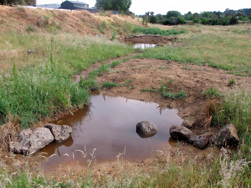


 Click on image for info/order page
 Click on image for info/order page
 Click on image for info/order page

")


")


