
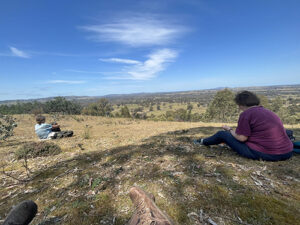
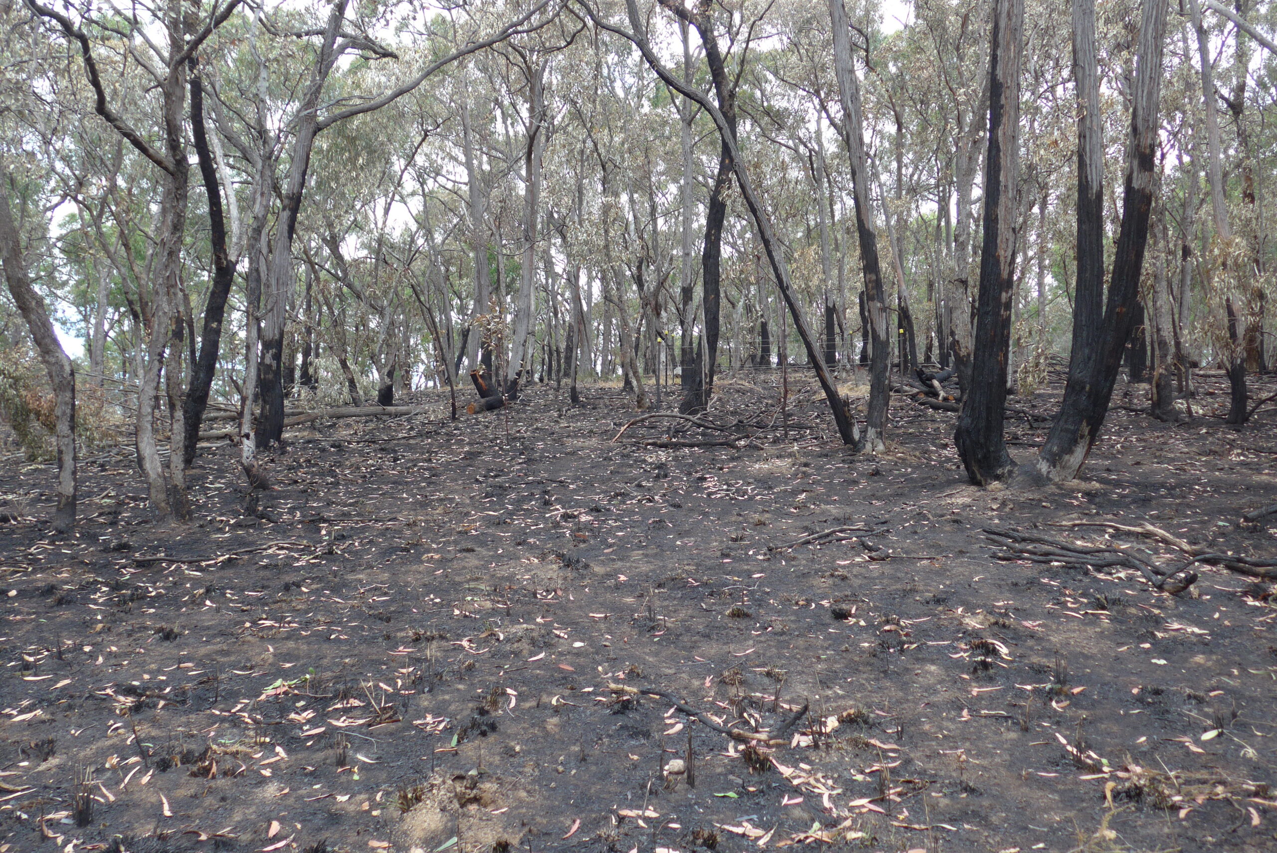
One highlight of Sunday’s walk was our lunchtime view south from Big Hill. Along the highway to Bendigo, we often see Big Hill from the highway, but rarely get up close. From on Big Hill could see back past Castlemaine to all the hills beyond, from Mt Ida near Heathcote in the east, all the way round to Tarrangower in the west. We then climbed to the top of Big Hill where there is a cairn. Interestingly, the top of Big Hill is marked on all the maps downhill from the knoll.
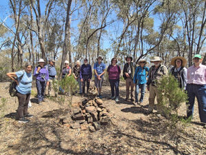
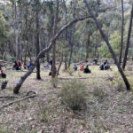
Euan Moore led 14 of us on an interesting loop from Crusoe Reservoir to No 7 Reservoir then to High Level Reservoir and then back to Crusoe via Big Hill. This infrastructure is part of the Coliban Water Scheme and additional information about this and many of the discarded relics, was supplied by Stephen Charman (The Coliban Main Channel; a walking guide).
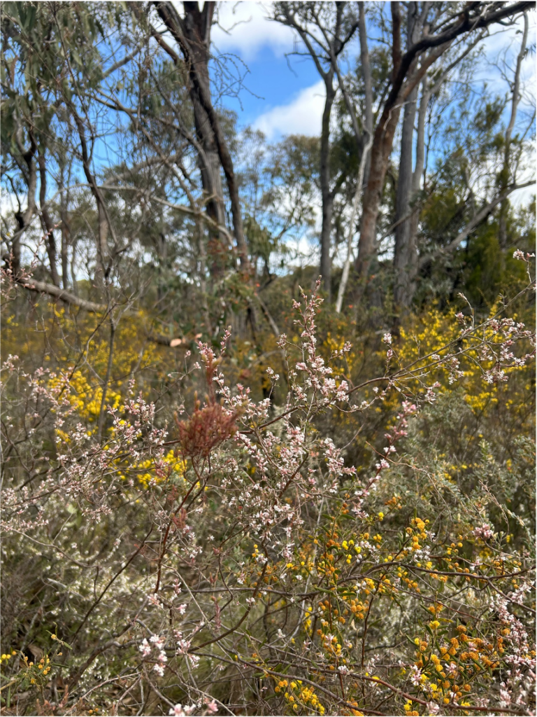
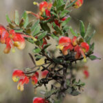
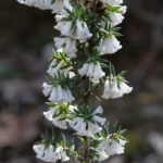
Grevillea dryophilla (Goldfields Grevillea), a rare type of holly grevillea, was growing in a number of locations between the reservoirs and we were lucky to see one in flower.
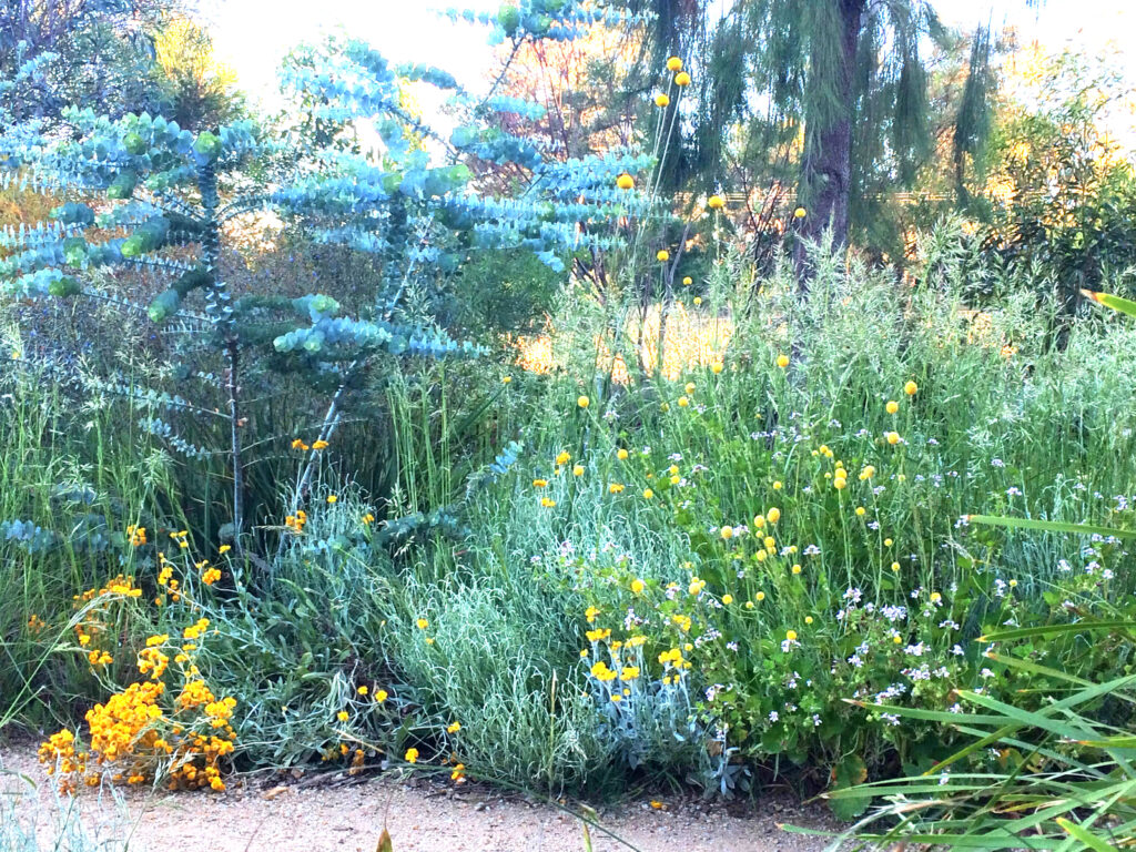
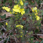
Aside from this, given the dry spring season, there was not a great diversity of flowers but plenty of sticky (Xerochrysum viscosum)and grey (Ozothamnus obcordatus) everlastings. The grey everlastings have yellow flowers which turn grey as they age.
We detoured back past the home of an owlet nightjar, who sadly was not home at the time of our visit, but many other birds were heard and seen. Finally, back along Crusoe Reservoir where many were enjoying the beautiful sunny day on the water.
Report by Lisa Hall. Photos also by Lisa except the group photo by Jenny Rolland.
-
- Big Hill, October 2024
-
- now
-
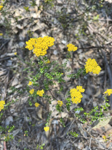
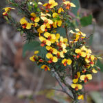
- Grey Everlasting (Ozothamnus obcordatus)
-
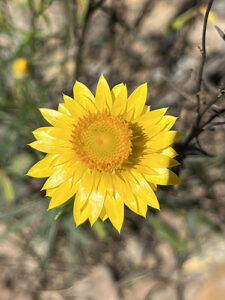
- Flower
Bird list by Euan Moore
2024/10/20 10:05 – 2024/10/20 15:19
Elapsed Time: 5:13:33
Distance Travelled: 11.1km
Checklist Used: VICTORIA – Species: 39, Sightings: 39
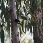
Australasian Darter, Australian Magpie, Australian Raven, Black-faced Cuckooshrike, Black-fronted Dotterel, Black Kite, Brown-headed Honeyeater, Buff-rumped Thornbill, Common Bronzewing, Crested Pigeon, Crimson Rosella, Eurasian Coot, European Starling, Fan-tailed Cuckoo, Golden Whistler, Gray Butcherbird, Gray Currawong, Gray Fantail, Gray Shrikethrush, Little Raven, Magpie-lark, Noisy Miner, Olive-backed Oriole, Pacific Black Duck, Red-rumped Parrot, Red Wattlebird, Rufous Whistler, Scarlet Robin, Silvereye, Spotted Pardalote, Striated Pardalote, Sulphur-crested Cockatoo, Superb Fairywren, Wedge-tailed Eagle, Weebill, Welcome Swallow, White-throated Treecreeper
White-winged Chough
Also:
– Eastern grey kangaroo
– Australian Painted lady butterfly
– Caper White butterfly
– Common Grass-blue butterfly
– Heath Ochre butterfly
– Painted Cup-moth caterpillar
This was our last FOBIF walk for the year. The 2025 walks program will be available in January.


 Click on image for info/order page
 Click on image for info/order page
 Click on image for info/order page

")


")


