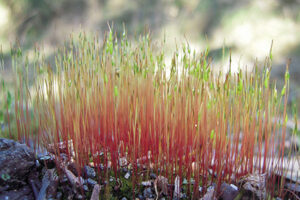
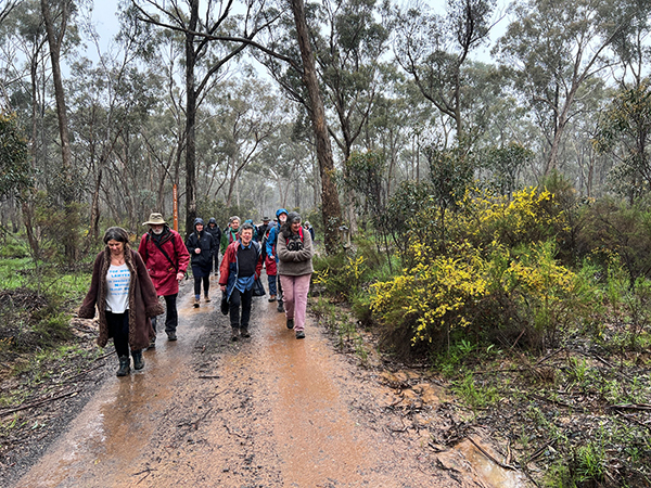
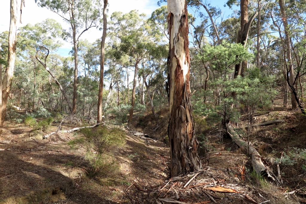
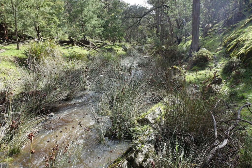
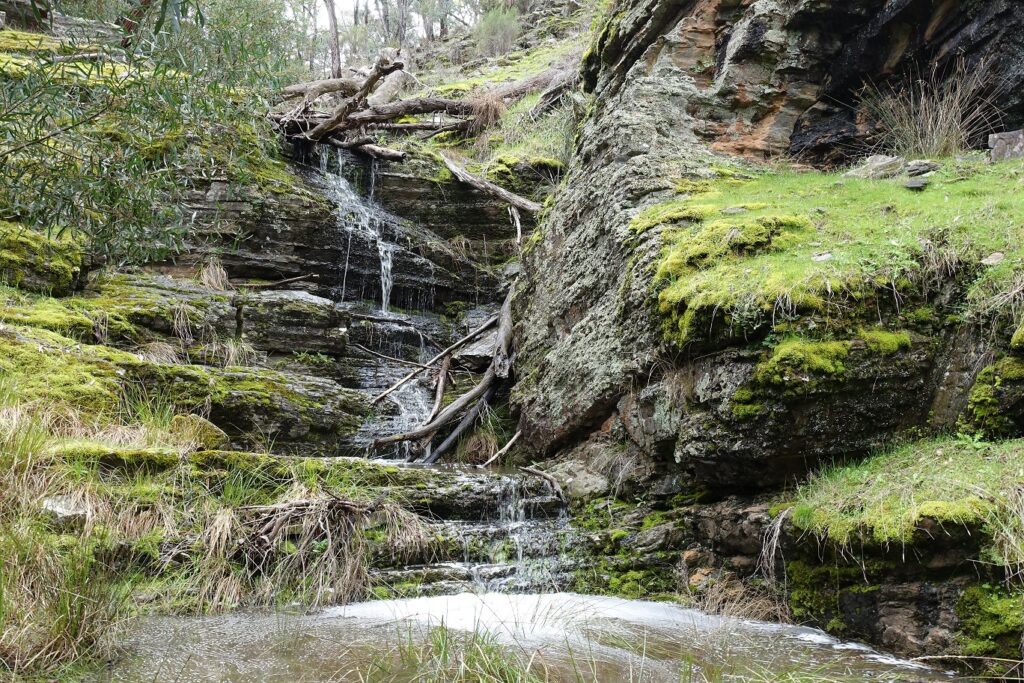
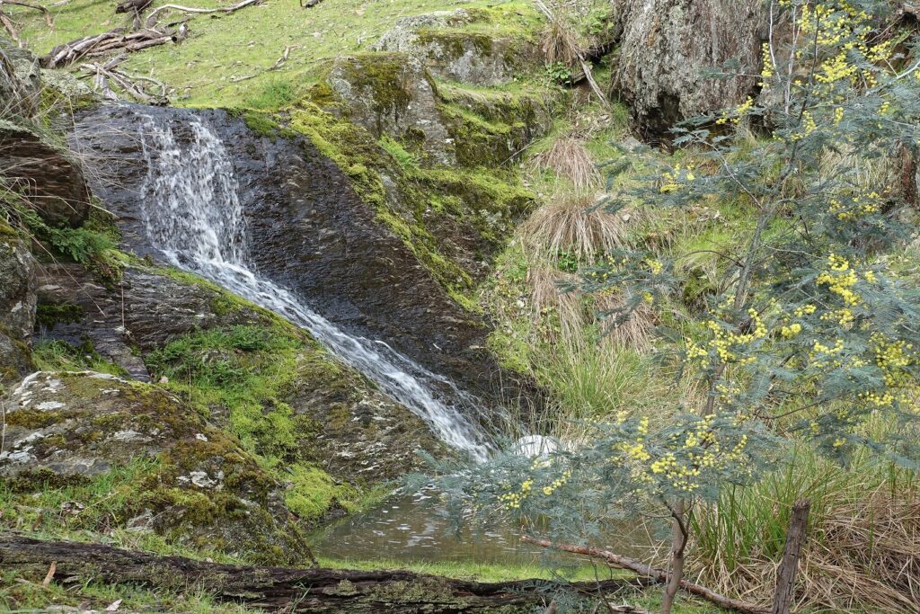
The biggest group of the year fronted grey skies and damp forecasts for FOBIF’s September walk in the Muckleford Nature Conservation Reserve yesterday. There was no lounging around in the sun, but walkers were rewarded with an experience of this forest in its best condition for years. From slime moulds to Gnat Orchids, battalions of Greenhoods and other orchids, oceans of flowering wattle and numerous wildflowers, the bush put its best foot forward. Walk leader Geoff Neville kept a leisurely pace on a ramble from the Red White and Blue Mine to Dunns Reef and back via an undulating off track route which showed the best of what this corner can offer.
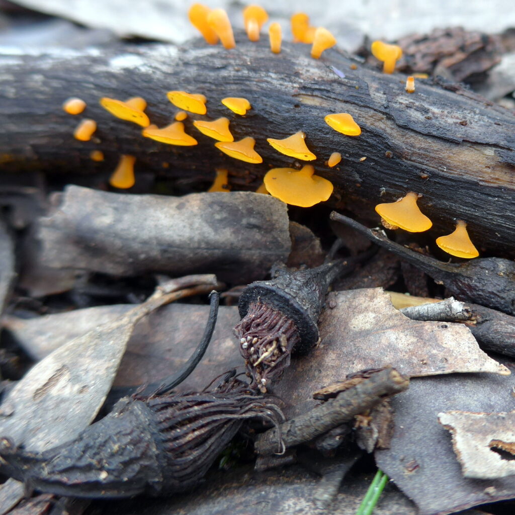
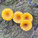
Little orange fungi with old Ironbark flowers. Photo Frances Cincotta
Our thanks to Geoff, who even managed to bring the group back to its starting point just as the downpours started to get under way.
-
-
Thin-leaf Wattle (Acacia aculeatissima) Photo Frances Cincotta
-
-
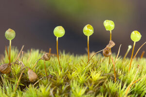
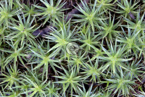
Greenhoods. Photo Bronwyn Silver
-
-
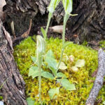
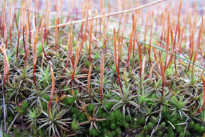
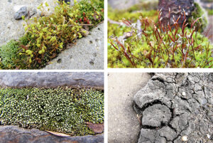
Slime Mould. Photo Bronwyn Silver
-
-
Lichenomphalia chromacea .Photo Bronwyn Silver
-
-
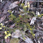
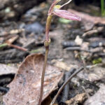
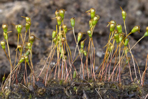
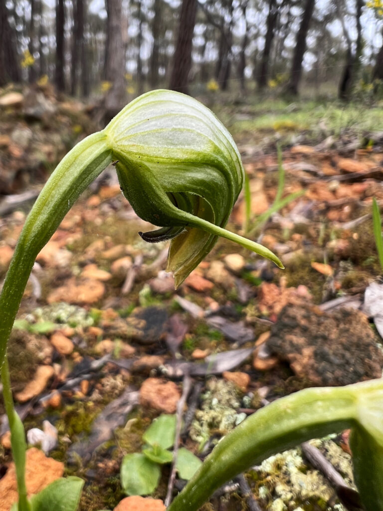
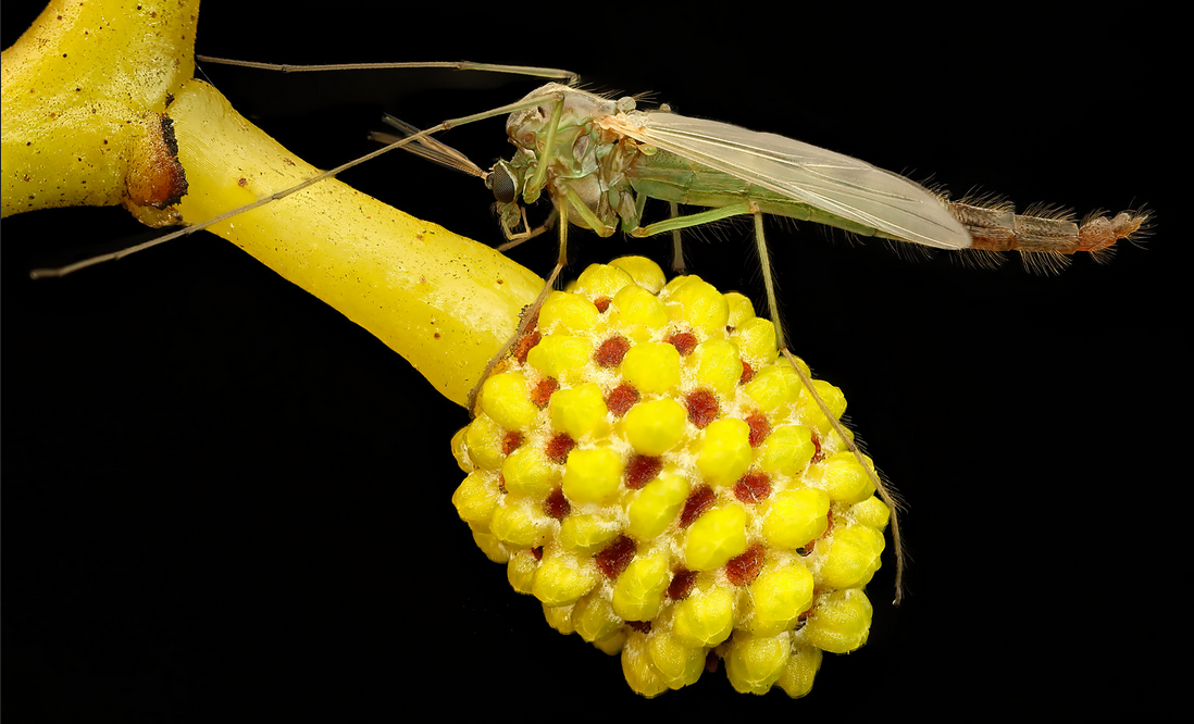
Gnat Orchid. Photo Bronwyn Silver
-
-
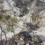
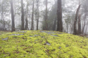
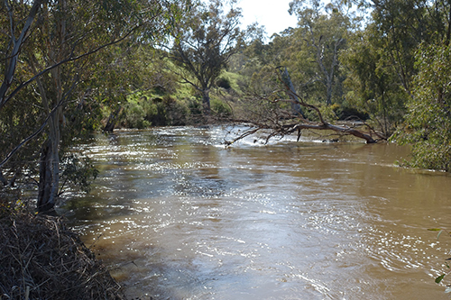
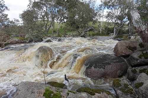
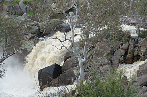
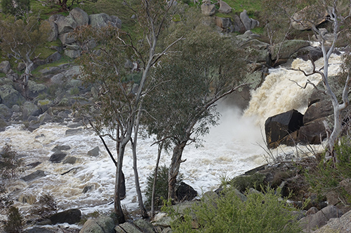
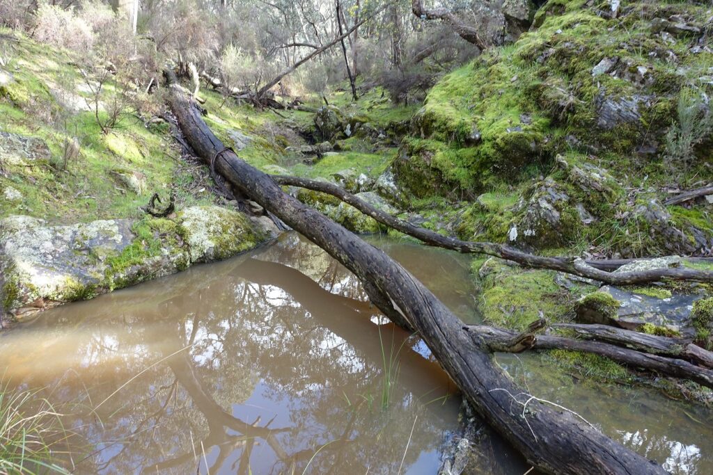
Dunns Reef. Photo Bronwyn Silver
Here’s a rough list of stuff observed along the way, supplied by Frances Cincotta:
7 species of orchids:
Dwarf, Nodding and Tall Greenhoods, Blue Caladenia, Leopard Orchids, Gnat Orchids and Pink Fingers.
5 species of wattle:
Thin-leaf Wattle, Gold-dust Wattle, Rough Wattle, Golden Wattle, and Spreading Wattle
Also; Purple Coral-pea, Yam Daisy/Myrnong, Early Nancies (or Ladies and Gentlemen), White Marianth, Gorse Bitter-pea, Pink Bells, …
And here’s a list of birds seen or heard on the walk, supplied by Euan Moore:
-Pacific Black Duck
– Horsfield’s Bronze-Cuckoo
– Little Pied Cormorant
– White-throated Treecreeper
– Fuscous Honeyeater
– White-naped Honeyeater
– Black-chinned Honeyeater
– Spotted Pardalote
– Striated Pardalote
– Buff-rumped Thornbill
– Striated Thornbill
– Weebill
– Black-faced Cuckooshrike
– Gray Shrike thrush
– Olive-backed Oriole
– White-winged Chough
– Little Raven
– Mistletoebird
Next month’s walk is in the Fryers Forest. Check the program for details.


 Click on image for info/order page
 Click on image for info/order page
 Click on image for info/order page

")


")


