
To many people, it’s seemed like a wait of a million years. Now it’s over: Leon Costermans’s long awaited geology book is now available.
‘A book about geology and landscapes that anyone can understand’
Directed at anyone interested in our environment, the book is geologically accurate and written in accessible language. Anyone who’s tried unsuccessfully to get a grip on geology will know that this is not easy to pull off.
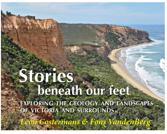
Stories beneath our feet is 660 pages long and contains 1870 photos, digital images, maps and diagrams. The photos alone are worth the price of entry.
The book shows how to read the stories of the past as embedded in the rocks; it examines relationships between geology, landforms and vegetation; and includes suggestions for group and individual field activities.
For more info and how to order, check out the website of Muckleford Books here.


 Click on image for info/order page
 Click on image for info/order page
 Click on image for info/order page

")


")


