FOBIF has been having another look at the heritage question. As we’ve pointed out before, heritage is a funny business. Sometimes it’s unintentionally funny—as when the national heritage listing for the Diggings Park tells us that the miners had ‘a lifestyle intimately connected to the earth.’ Does this mean they dug holes? We do not wish to denigrate the miners, who were people of their time: but the heritage industry has an apparent obsession with putting a positive spin on things, an obsession which can sometimes seem slightly gaga—as when they use the phrase ‘extensive vegetation modification’ to refer to wholesale environmental destruction, for example.
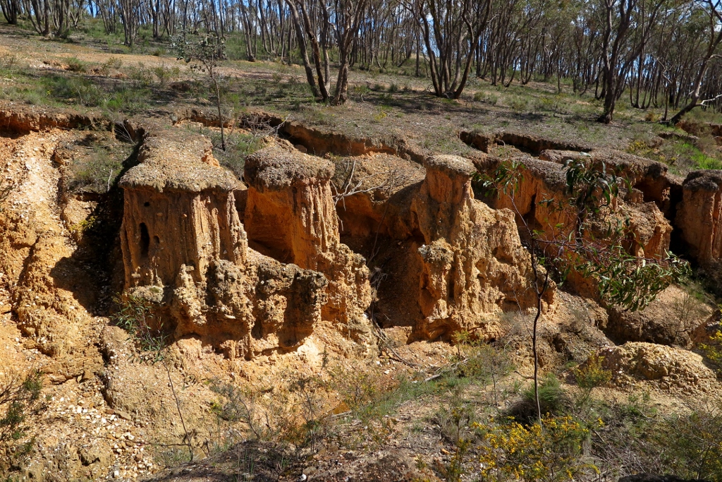
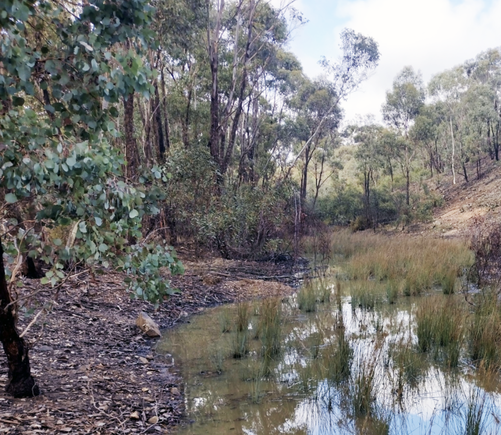
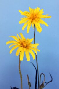
An example of ‘extensive vegetation modification’ and its consequences. The relentlessly positive language in heritage documents oversimplifies history and might amount to a cover up.
More seriously, check this out, offered as evidence of ‘outstanding heritage value to the nation because of the place’s importance in the course, or pattern, of Australia’s natural or cultural history’:
‘The goldfield, which played a major role in drawing overseas immigrants to the colony, and in raising from the ground so much of the golden wealth which flowed into Australian and overseas markets, played a substantial part in all those changes which gold wrought on Victoria and Australia: increased population, increased wealth, the growth in manufacturing, the improvement in transport, the development of regional centres and townships, the further development of a middle class, democratization of political institutions, reform of land laws, the genesis of an Australian Chinese community, and so forth…’
All true. All very positive. But is there anything missing?
We wonder what might be covered in that harmless phrase, ‘and so forth’. Like, is there anything notable missing from that list of entirely positive stuff about changes in demography?
You might find a clue in this book: Black Gold—Aboriginal people on the goldfields of Victoria, 1850-1870 by Fred Cahir (ANU Press 2012). It’s online, and free here.
The heritage listing comes perilously close to endorsing a terra nullius idea of our history. Maybe it’s time for a revision?


 Click on image for info/order page
 Click on image for info/order page
 Click on image for info/order page

")


")


