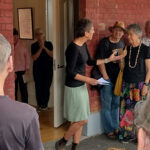
Parks Victoria has completed its network of new walks centred on the Garfield Wheel trailhead in the Castlemaine Diggings NHP. Maps and descriptions can be found here.
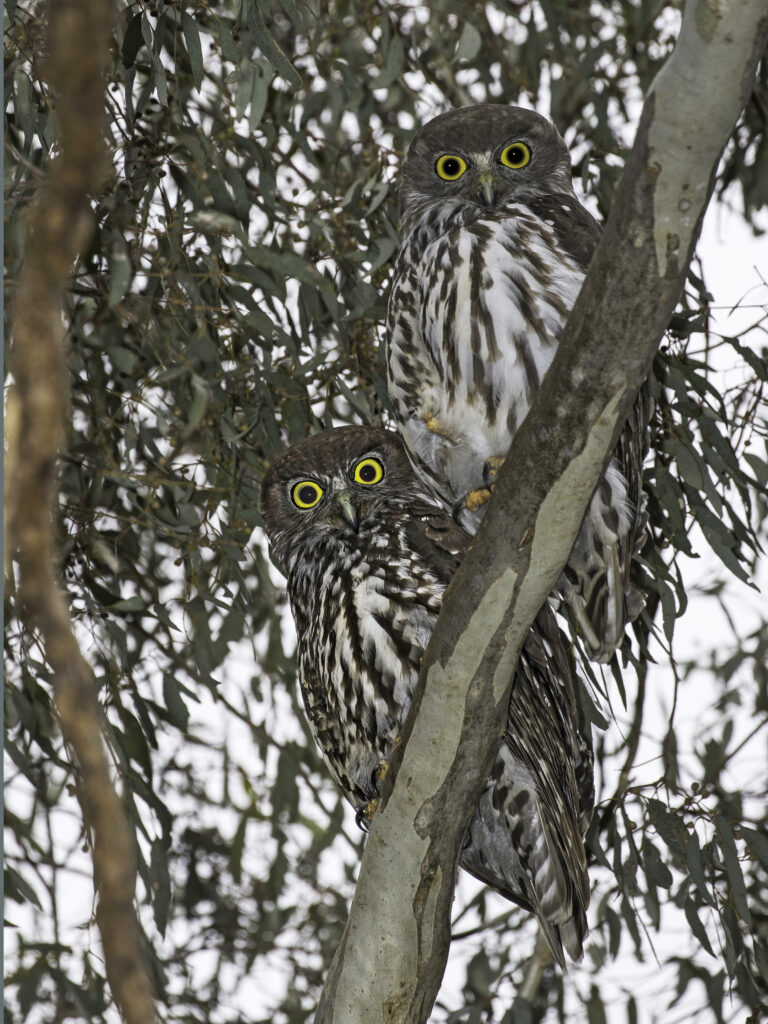
The new walks are marked by distinctive posts, and supported by online maps you can get by downloading the free Avenza map. The supporting note packages give plenty of detail about mining practices, and one of the walks, the short Garfield Bush walk, has notes on the local vegetation and bird life.
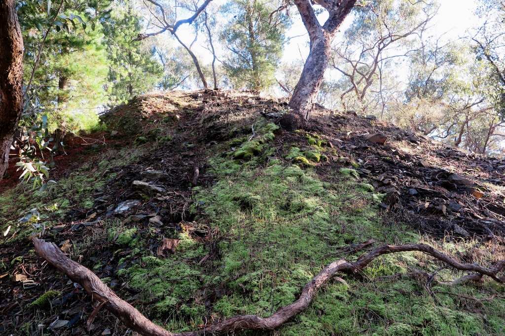
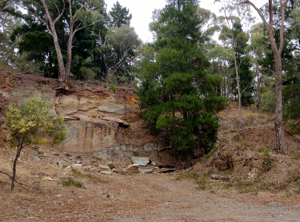
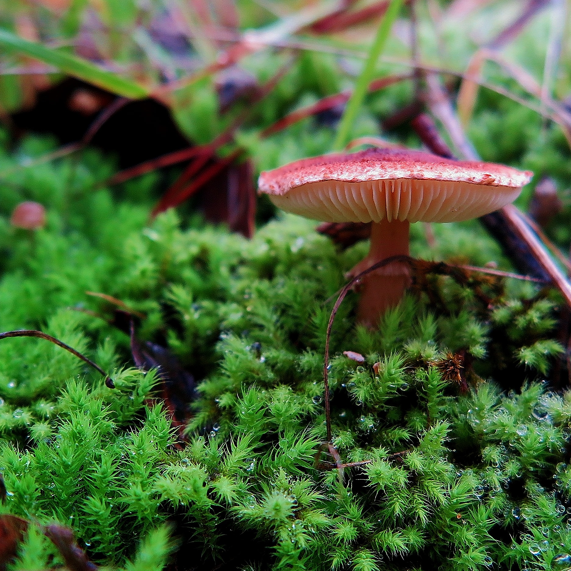
Nature creeps back: Breutelia moss colonising a mullock heap at the Nimrod mine. Mosses and fungi are highlights of winter walking at the Welsh Village.
Note that the new walks overlap somewhat with the Welsh Village walks in FOBIF’s local walks guide. The changed conditions make some of our directions hard to follow. A new edition of this guide will soon be published incorporating changes on the ground. In the mean time, walkers using our book should follow our maps carefully (they’re better than the Avenza ones, anyway).
The new track system certainly sparks up what was perhaps a tired precinct. The accompanying heritage notes might be a bit heavy on technical detail, but some of them are provocatively interesting. Take this, on the Garfield crushing battery:
‘Quartz was tipped into the battery from the raised tramline and pounded to sand by the stampers. The battery sand was mixed with water into a slurry and forced through mesh screens onto the sloping aprons or concentrating tables (also known as blankets). These were covered by copper sheets coated with mercury, which caught and amalgamated with the gold.
‘Periodically, the gold-mercury amalgam was scraped off the copper sheets and heated to vaporise the mercury and release the gold. Once cooled, the mercury was reused. The miners involved in this process would probably have suffered from mercury poisoning.
‘Mercury is a neurotoxin which damages the part of the brain that co-ordinates movement. It also harms the kidneys and other organs. Although it is illegal to use mercury in gold mining in many countries today, there are an estimated 10-15 million unregulated gold miners operating in 70 countries. About 15% of the world’s gold is produced by small-scale miners. Mercury is still widely used, causing irreversible neurological damage to workers.’
This is an uncommon example of heritage notes straying away from local colour and into the drama of life as it’s lived, and is welcome.


 Click on image for info/order page
 Click on image for info/order page
 Click on image for info/order page
")


")


