The Department of Environment’s latest Draft Fuel Management Program is out for consultation. An interactive map, which you can access here. shows the location of planned burns. Click on a location and you’ll see where and when management burns are planned. You’ll have to concentrate, because unfortunately important tracks are not easily found on the map.
We urge you to check the map, find proposed burns near you, and put in a considered point of view to Loddonmallee.plannedburning@delwp.vic.gov.au.

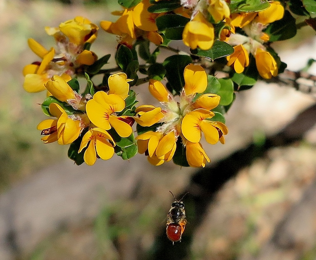
Large Leaf Bush-pea (Pultenaea daphnoides): this is the largest of our local bush-peas, and is rare in our region. One of its strongholds is near the Sugarbag extension track, bang in the middle of a planned burn area. Will fire officers take this into account?
Major planned burns in this region include those around the Maldon Railway, Wewak Track, Dingo Park Road, Railway dam, Irishtown Track and Sugarbag Extension track. There is a proposed burn along Bells Lane track in the Muckleford forest, overlapping with the fuel break along this track.
A burn is also planned along Salt Water Track, in an area covered by walk 13 in FOBIF’s guide 20 Bushwalks in the Mount Alexander region. We suggest readers go out and have a look at this very beautiful patch of bush: those who do will be able to do a ‘before and after’ comparison when the exercise is finished.
This program is an extension of the Joint Fuel Management plan 2022-5. Some additions have been added to that plan. You can find a detailed rationale for the program in its informative 50 page document Loddon Mallee Bushfire Management Strategy 2020 Unlike many such documents, this one is informative and worth a look.
As our readers will know, the question of management burning is fraught. FOBIF will be making a detailed submission, and as in the past, we’ll be emphasising that the Department should stick to its own rules: be informed by its past monitoring; avoid excess track gouging; avoid bringing down valuable habitat trees; pay attention to sensitive areas in and near the fire zone…Attention to detail is the challenge, and any amount of strategic thinking won’t make up for lack of it…


 Click on image for info/order page
 Click on image for info/order page
 Click on image for info/order page


