FOBIF representatives met with Mount Alexander Shire officers last Monday to discuss roadsides in the shire. The meeting related to planning scheme amendments designed to put protection overlays on some roadsides.
FOBIF supports Council initiatives in this area, but we have been concerned about gaps in the Council maps of roadsides.
Monday’s meeting was productive, and officers have agreed to supplement current maps with relevant material from the 1998 roadsides strategy.

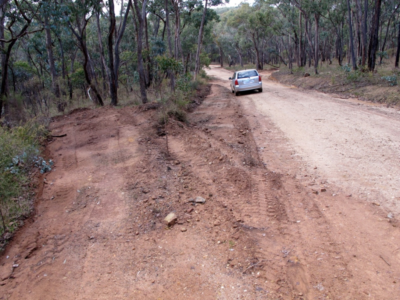
DELWP works on the Irishtown track, May 31: the road is seven metres wide, plus scalped verge, plus numerous runoff sections. This bush track is as wide as a highway, and much wider than the nearby Fryerstown Vaughan bitumen road.
In the meantime, DELWP has been busy grading roads in bushland around the shire, leaving many of us scratching our heads about the logic and implementation of some of these works.
The Irishtown Track, for example, has now been graded to be wider than any of the local bitumen roads, and in many verges have been scalped of vegetation. Though not as bad as DELWP’s efforts on the Fryers Ridge a couple of years ago [see here and here], the works are hard to comprehend.
For years now we’ve been putting a simple question to DELWP: how wide should a bush track be? We’ve never had an answer, but we’re guessing: wider and wider.


 Click on image for info/order page
 Click on image for info/order page
 Click on image for info/order page


