The Mount Alexander Shire is conducting a Rural Land Study in order to establish how rural land in the Shire should be zoned. Current zoning of rural areas derives from a 2004 State Government planning decision designed in part to protect farming land from alienation by unproductive development. The resultant system is now under attack as insensitive to local needs, and the rural land study is an effort to see how land in the shire can best be used for a variety of potentially conflicting purposes.

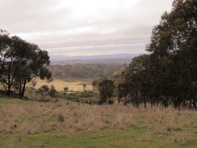
Agricultural land, Sandon: the rural land study aims to see how best to zone land for many distinct and sometimes conflicting values: production, scenery, biodiversity, heritage, tourism and residential development.
Information sessions on the study will be held as follows:
Thursday 14 March 2013
Baringhup Hall – 11:00am – 1:00pm Burke Street Baringhup
Metcalfe Hall – 4:00pm – 6:00pm Metcalfe-Kyneton Road, Metcalfe
Wednesday 20 March 2013
Muckleford Community Centre – 11:00pm – 1:00pm Walmer Road, Muckleford
Newstead Community Centre – 4:00pm – 6:00pm Lyons Street, Newstead
An issues paper prepared for council has listed some of the things that might come up in preparation of the study. Here are a few:
Agriculture
• The future use of low quality agricultural land
• Impact of farmlet subdivision on the fragmentation of agricultural land
• Land use conflicts: rural living lifestyle versus the “right to farm”
• The future of agricultural land of local and regional strategic significance
• Utilisation of available irrigation water
• Population loss from small agricultural communities
• Implications of climate change
Biodiversity
–Overall continuing decline in extent and quality of native vegetation and consequent decline in native fauna and need to improve the conservation status of flora and fauna in the Shire.
–Protection of remnant native vegetation on private land.
–Fragmentation of habitat.
–Impact of domestic animals on fauna populations and vegetation.
–Potential impact of urban development on the habitat values of the Castlemaine Diggings National Heritage Park
–Protection of scenic landscapes.
–Protection of the significant natural values of the following environmentally sensitive areas (Castlemaine Diggings National Heritage Park; Barfold Gorge; Mount Alexander; Mount Tarrengower; Vaughan Springs; Muckleford Gorge; Mount Consultation; and landscapes between Elphinstone and Castlemaine)
Rural living
• Appropriate location.
• Bushfire hazard and associated safety provisions.
• Land capability (e.g. erosion hazard, on site waste treatment), to sustain such development.
• Water quality and quantity in drainage lines, streams, and reservoirs particularly in ‘Special Water Supply Catchment Areas’.
• Minimising land use conflicts between agricultural activities, and amenity expectations of rural residential dwellers.
• Avoidance of significant impacts to primary production, or to environmental or cultural values of rural areas.
• Avoidance of demand for costly or inefficient community services or infrastructure (e.g. Power, water Telecommunications)
• Access to municipal infrastructure, and to community and social services.
Similar lists of issues for Heritage and Tourism are in the paper.


 Click on image for info/order page
 Click on image for info/order page
 Click on image for info/order page


